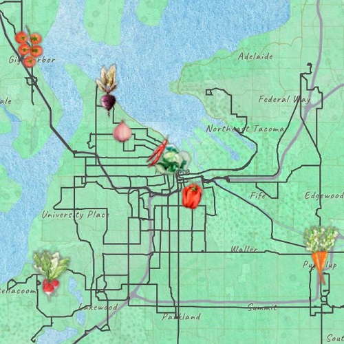
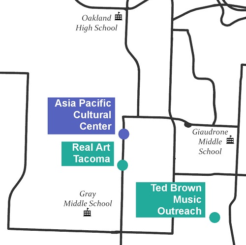
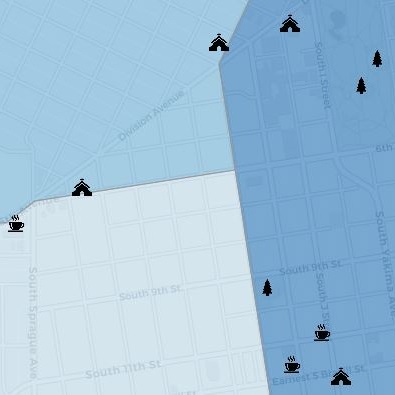
Tacoma's Third Places
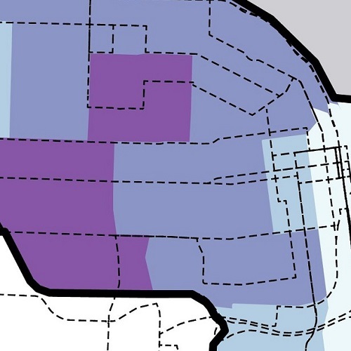
Leaflet map showcasing Leaflet Layers Control.
See more
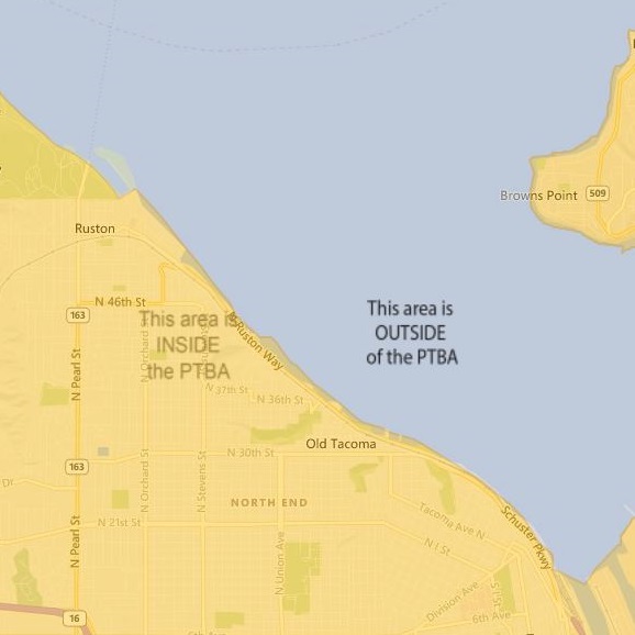
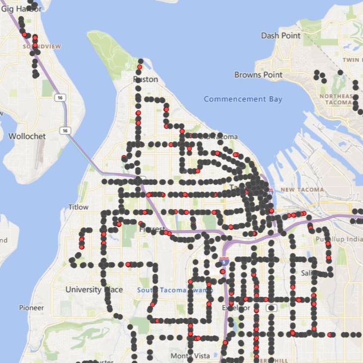
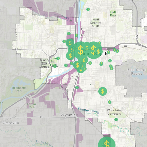
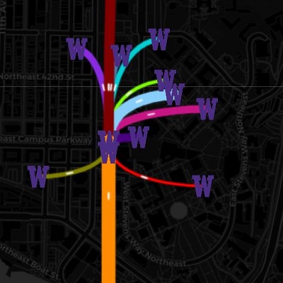
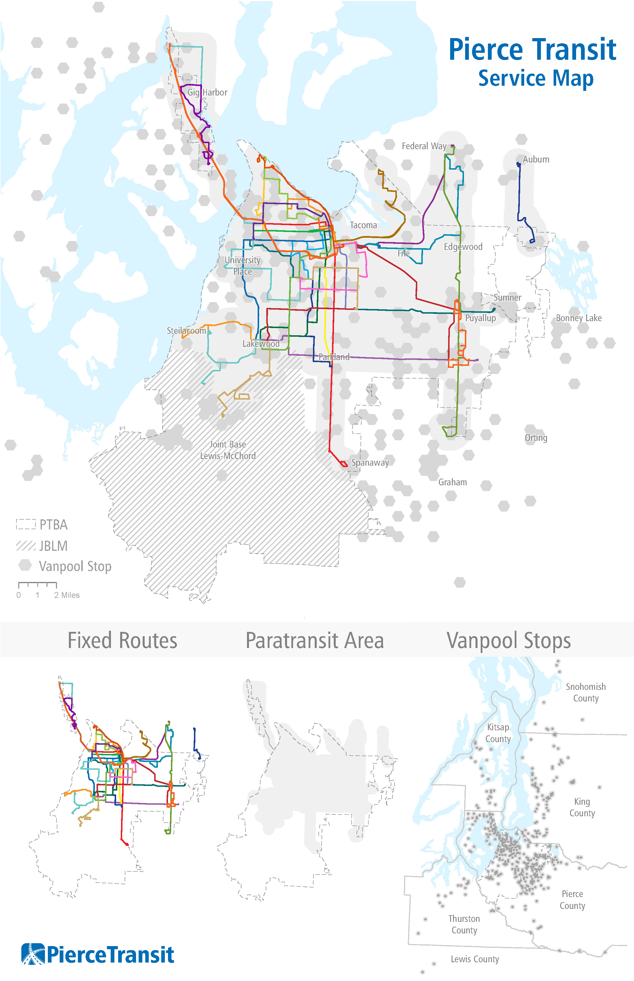
Interactive map to inform residents of stops marked for removal in Bus Stop Balancing project. (2021)


GISP (GIS Certification Institute, 2024)
MS Geospatial Technologies (University of Washington Tacoma, 2019)
BA Geography and English Writing (Calvin College, 2017)
My work has ranged from research about brownfield redevelopment in Michigan to stormwater education and transportation planning in Washington. I am interested in public service, geography education in the United States, and the interdisciplinary nature of GIS.
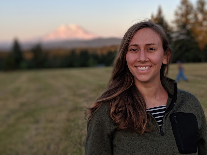
I currently live in Tacoma, Washington, but I grew up internationally. Click on my picture to the right to see a map of where I've lived.


